
Solon Neighbors by Block
A Solon block lookup works best when every source is assigned a limited role. Parcel viewers show boundaries and nearby lots. MyPlace records connect a selected parcel to current property information and transfers. The City Archive can surface public planning or meeting material tied to an address. Community organizations are a separate public-contact layer. None of those sources functions as a complete roll of people on a block, so a result should be described only as the official record actually supports.
| Block source | What it can show about a Solon block | Access |
|---|---|---|
| County or City GIS | Parcel positions, boundaries, and map context around the selected address | Public web viewer |
| MyPlace property record | Parcel, owner connection, transfers, tax and property tabs | City plus Owner, Parcel, or Address search |
| Recorder documents | Recorded parties, instruments, and legal descriptions | Official index, counter, or request route |
| City Archive and records request | Planning, Council, and public-project address context | Archive controls or department request |
| City Clubs & Organizations | Public organization contacts, not membership information | City list |
The table distinguishes what a source can show from what it cannot. A parcel line is about land and its records. It does not settle who is present at the location or create a private community directory.
Map a Solon Block One Parcel at a Time
Use the Solon GIS Mapping gateway or MyPlace View Map to begin at one known address. The verified method is to click or select each adjacent parcel and compare its individual property record. The City GIS page confirms a public web app, but the research did not document a radius or buffer tool. Do not treat a drawn circle, a street sequence, or visual proximity as a substitute for selecting the actual neighboring parcel.
- Find the known Solon address and note its parcel boundary.
- Click each adjoining parcel on the County or City map, one at a time.
- Open the individual MyPlace record and preserve the parcel ID, site address, owner field, and recent transfer.
- Check the Recorder document and legal description when an ownership or boundary question needs confirmation.
- Use the City Archive only for relevant public planning or meeting context tied to that parcel.
For a longer named-street record trail, the Solon Street Directory follows the address through transfers, documents, maps, and historic directory evidence. The block method remains narrower: individual adjacent parcels, not an assumed radius.
Read Solon Neighbors in MyPlace
Cuyahoga County MyPlace requires a City selection and then offers Owner, Parcel, or Address search. A selected parcel exposes General Information, Transfers, Values, Land, Building Information, Building Sketch, Other Improvements, Permits, Tax By Year, a Legal Recordings Document List, and View Map controls. Each selected parcel therefore has its own record trail. Use Transfers before opening a deed, and use the Document List to reach the recorded-document side of a result.
MyPlace can download search-result addresses as CSV. That feature may help organize a defined property set, but the County presents it as property data. It is not a statement about every person connected with a block. The County also says MyPlace is not the official public record; confirm a recorded claim with the originating custodian.
The Fiscal Office services page also publicizes Property Alert.
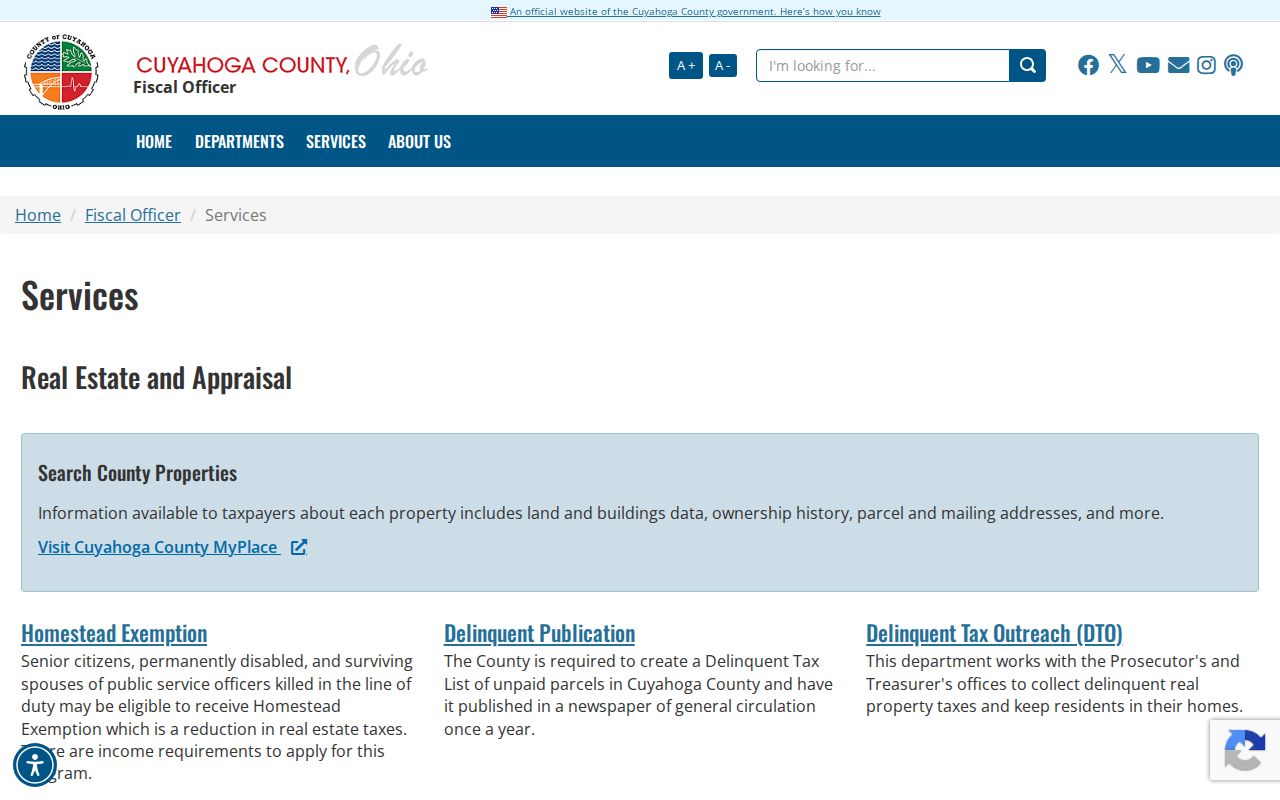
Property Alert is a separate consumer-safety service and does not change the need to check each Solon parcel in its own record.
Use Solon Neighbors City Planning Records
The Solon City Archive searches City Council, Planning Commission, Records Commission, finance, and public-works agendas and minutes. It offers keyword, archive-category, time-period, start-date, and end-date controls. An address may appear in an application, variance notice, or project history. That can explain public activity near a parcel, but it is not a current-neighbor index and should be read with the relevant date and proceeding in view.
When an item is not online, Solon's City process accepts online and printable open-records requests. The printable form can be returned in person, by mail, or by email. It asks for a detailed description and lets a requester choose email, regular mail, pickup, or another delivery method. Identify the department, record type, known address, and date span. County-held material has its own Cuyahoga public-records request route.
The County public-records request channel is represented in this capture.
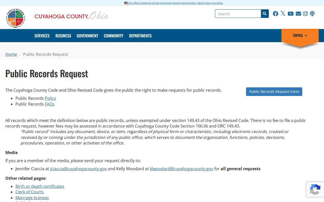
A focused request is the fallback for a documented public record that the portal does not expose directly.
Find Solon Neighbors Through Community Contacts
Solon's City Clubs & Organizations list provides public organization contacts, not membership records. The list names Rotary, Civic Club, Italian Club, Women's Club, Kiwanis, Tech Talk, TOPS, and Solon Benevolent Fund. It can be useful for civic participation or reconnecting with a community group, but it does not publish participant rosters. No HOA directory was verified in the research, so it should not be assumed to exist for a particular block.
| Public City-listed contact category | Practical limit |
|---|---|
| Rotary, Civic Club, Italian Club, Women's Club | Organization names and public contact route, not a list of participants |
| Kiwanis, Tech Talk, TOPS | Community-group layer, separate from parcel records |
| Solon Benevolent Fund | Public organization contact, not an address directory |
| City staff directory | Department contacts and public employees, not a private-resident source |
The Solon staff directory is shown below. It searches Category, First Name, and Last Name for City contacts.
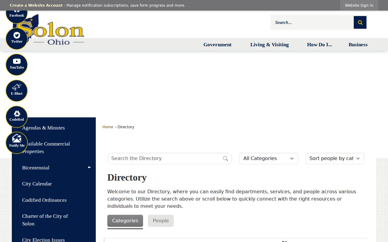
Use a City staff result to reach the appropriate public department, not to draw conclusions about a Solon block.
Limit Solon Neighbor Voter Searches
Ohio My Voter Information is a person-specific lookup, not a block browser. First Name, Last Name, and County are required before a Street Name control may be offered to narrow a search. Select Cuyahoga for Solon. The tool returns registration and precinct or polling-location context, not ballot choices, and Ohio does not register voters by party in this public lookup.
Public voter information needs care under ORC 3503.15 and the Ohio Public Records Act. Safe at Home participants do not appear as ordinary address results, and list maintenance can explain a mismatch. Do not use a registration result to infer everyone connected with an address. A nonmatch should be checked with the County Board of Elections rather than treated as a conclusion.
Note: A street-name control only narrows a specific-person search after the required name and County fields are supplied.
Compare Solon Neighbor Record Sources
Official sources state their custodian, search fields, and record limits. A commercial neighbor-search category may combine public and nonpublic claims with varying accuracy, and it may not show the underlying source or update date. For a Solon neighbor question, a parcel viewer, MyPlace, Recorder document, City record, or voter lookup should be checked at its named custodian before relying on a claimed association.
| Official custodian route | Commercial neighbor-search category |
|---|---|
| Identifies the office holding the parcel, document, or City record | May combine claims from varied sources |
| Lets a researcher compare a field with the underlying record | May not show the underlying record or its update date |
| Supports correction through the office that holds the record | Does not replace correction at the source office |
A name match or map pin is a lead to verify, not a reason to assume a private relationship or presence on the block.
Place Solon Neighbors in Map Geography
Solon's record geography crosses older township descriptions and later city development. The City says GIS began in the late 1990s, the first public interface launched in 2005, and improved functionality replaced it in February 2011. Earlier material may use rural township descriptions around Aurora Road and SOM Center Road. Parcel IDs and legal descriptions are more stable comparison points than a street number alone when a block is being traced through different map eras.
Solon's postwar planning reserved 2,200 acres for industry. An address trail can therefore cross rural maps, later subdivisions, and industrial parcels within one local records geography. This is another reason to retain the parcel ID and legal description alongside the map label.
This local map history is why adjacent-parcel selection matters. A map view provides orientation, but the selected parcel record and its legal description remain the confirmation path for Solon neighbors research.
Protect a Solon Neighbor Record Check
Cuyahoga County warned on February 6, 2025 about property-tax scam callers who demanded immediate payment and banking or card data. County employees may call delinquent owners about options, but the warning says they do not ask for banking or personal data by phone. Verify a tax or deed solicitation by contacting the named custodian directly. A map, tax bill, or recorded name match does not establish that an unexpected caller is legitimate.
The County property-tax scam warning is shown below.
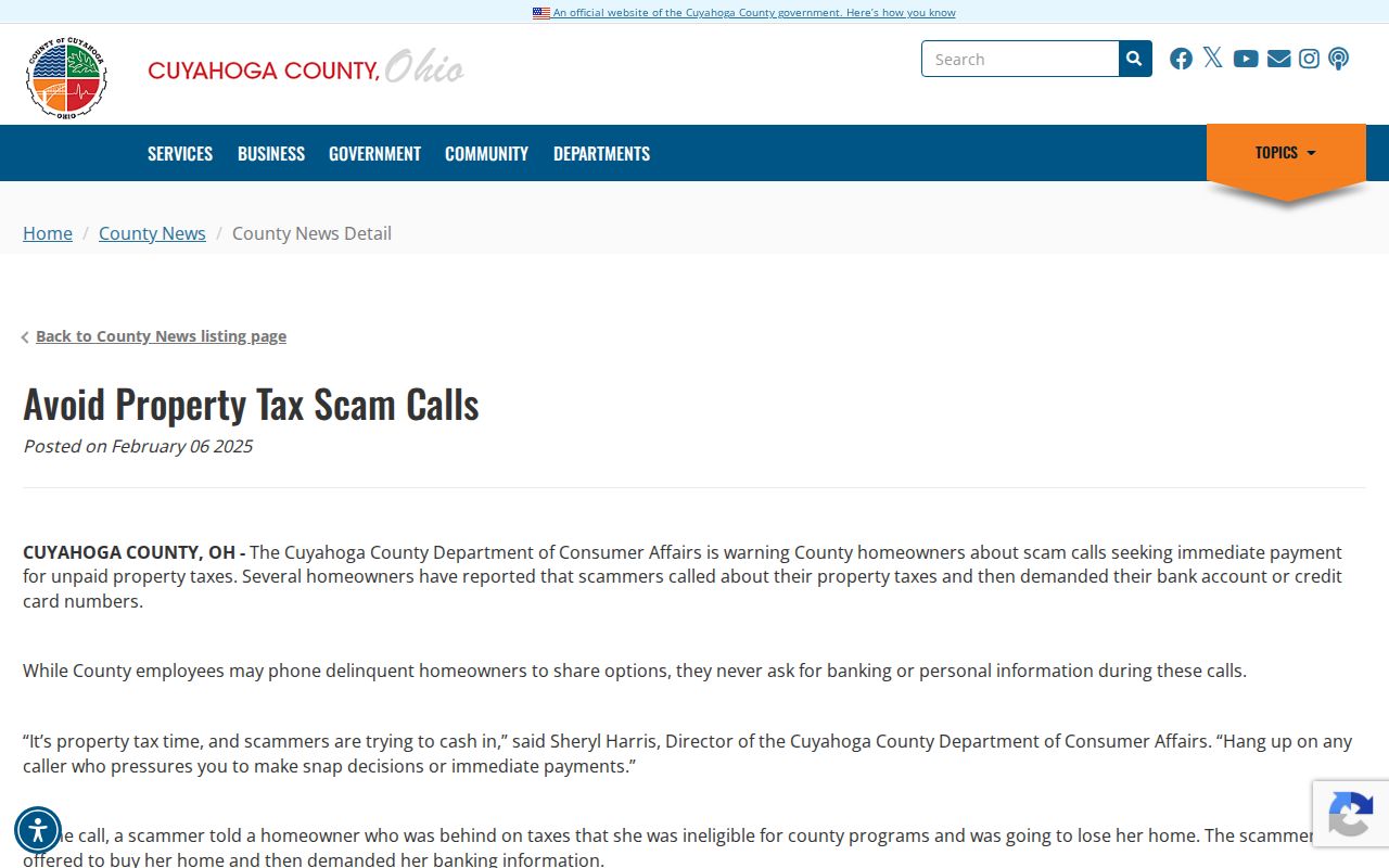
Contacting the official office through its published channel helps separate a real records question from an unsolicited demand.
Respect Solon Neighbor Privacy
Public records have firm boundaries. Parcel data can identify land and an owner connection, while a City planning file may identify a public proceeding. They do not disclose private utility or delivery information. Ohio Safe at Home uses a substitute address for eligible participants and can protect a real-property address through its notice route, so voter and municipal records can omit or mask an expected result. Recorded documents and court records can also contain statutory redactions.
Ask the custodian for the applicable authority and a written explanation when a record is withheld or redacted. For a wrong public record, seek correction at the source office rather than through a secondary listing. Solon neighbors research is appropriate for lawful personal, civic, family-history, and property-curiosity purposes only.
Lawful use. Use Solon neighbor records responsibly. Ohio law bars stalking and harassment, and an address or parcel result never permits unwanted contact or tracking.