
Solon Previous Residents by Research Era
A Solon address history is best traced in layers. Recorded documents identify parties to a transfer and legal descriptions. Tax material and maps help preserve the Solon location through changing street names and dimensions. Directories and the released federal census add a household context only where their coverage reaches the address. Start with the most recent reliable Solon parcel, then choose the source whose date overlaps the period being tested. The County Archives property guide is especially important when a web result no longer reaches far enough back.
| Source | Years it covers | Where held | What it shows |
|---|---|---|---|
| Recorded documents | 1810-present | Recorder online search or counter | Solon deed chain, parties, and legal descriptions. |
| Tax records | 1819-1986; 1987-present online | County Archives or MyPlace | Solon owner, tax-history, and value clues. |
| Maps and suburban atlases | 1852 onward, series varies | County Archives and Map Room | Solon parcel, building, road, and map context. |
| Criss-cross directories | 1923, 1926, 1960 to the then-current year | CPL | A listed address occupant when the volume includes Solon. |
| Federal census | Released on a 72-year cycle | CCPL databases and archives | Household, age, and place context. |
Owner, site address, and mailing address are not interchangeable. A Solon site address identifies the place. A Solon mailing address can differ. A document party identifies a recorded role, not automatically an occupant. Keeping those distinctions intact prevents a Solon past-residents search from turning a property clue into an unsupported household claim.
Solon Address Records in MyPlace
Begin a Solon address-history search in Cuyahoga County MyPlace by selecting City, then searching by owner, parcel, or address. Select the Solon result by Parcel ID and preserve its General Information, Transfers, and Legal Recordings details. MyPlace also has value, land, building, permit, tax-by-year, and map controls. The Document List link points toward Recorder material, while the transfer tab gives a useful recent handoff into the deed chain.
MyPlace is a property tool, not the official public record; the originating office controls. Use it to organize a Solon parcel trail, then confirm transfer with the Cuyahoga Recorder serving Solon. Downloads describe results, not everyone linked to a Solon address.
Solon Address Records at the Recorder
The Cuyahoga Official Records Search gives the Solon deed trail its long reach. The Recorded Documents department says filings, including deeds, run from 1810 to the present. Quick Search accepts a grantor, grantee, subdivision, document type, or document number, with a recorded-date range. Advanced Search adds party name, grantor, grantee, recorded and instrument date ranges, document type and number, parcel ID, volume, page, property address, and legal-description fields.
| Party name, grantor, grantee | Recorded party roles used to reverse a deed trail. |
|---|---|
| Recorded and instrument dates | Separate MM/DD/YYYY date ranges for narrowing an older document. |
| Document type and number | Instrument classification and identifier for the selected record. |
| Parcel ID and property address | Location aids that should be compared rather than used alone. |
| Volume, page, and legal fields | Additional ways to place a record within the same parcel history. |
| Index or full-text OCR scope | Index treats entered words individually; the OCR option searches a multiword phrase through document contents. |
For an older Solon address, preserve every parcel identifier and the legal description before changing any search term. The County directs Solon name searchers to use LASTNAME FIRSTNAME and add a party by pressing Enter; dates use MM/DD/YYYY. A no-fee public-record request option and the Recorder counter are alternatives when an online result does not answer the specific record question.
Note: Search the recorded party role and document date together, because the same address can appear in several instruments for different reasons.
Trace Solon Previous Residents Through Deeds
A Solon deed chain moves backward from a confirmed current parcel. It does not prove a full household, but it can identify the recorded parties and the property description that carry the Solon address through time. The County's property guide recommends checking the parcel, property address, street names, dimensions, and legal description at every step because any of them can change. That record discipline makes it possible to test, rather than assume, who lived at a Solon property in an earlier period.
- Open the current Solon parcel in MyPlace and record the Parcel ID, site address, transfer detail, and legal description.
- Use the transfer or Document List connection to locate the recorded deed in the Official Records Search.
- Read the deed parties and document date, then search the seller as a grantee to find that party's earlier acquisition.
- Repeat the reversal, comparing the parcel, property address, and legal description rather than relying on a name alone.
- Bridge a Solon break with archived tax records or maps, then return to the deed index or Recorder counter with the stronger identifiers.
- Grantor and grantee
- The grantor is the party transferring an interest. The grantee is the party receiving it.
- Chain of title
- A sequence of recorded transfers connected by parties, dates, and the same property description.
- Legal description
- The formal parcel wording in a recorded document. It can stay useful when a street address, road name, or dimension changes.
Cuyahoga transfer and recording information is the source for this recorded-documents view.
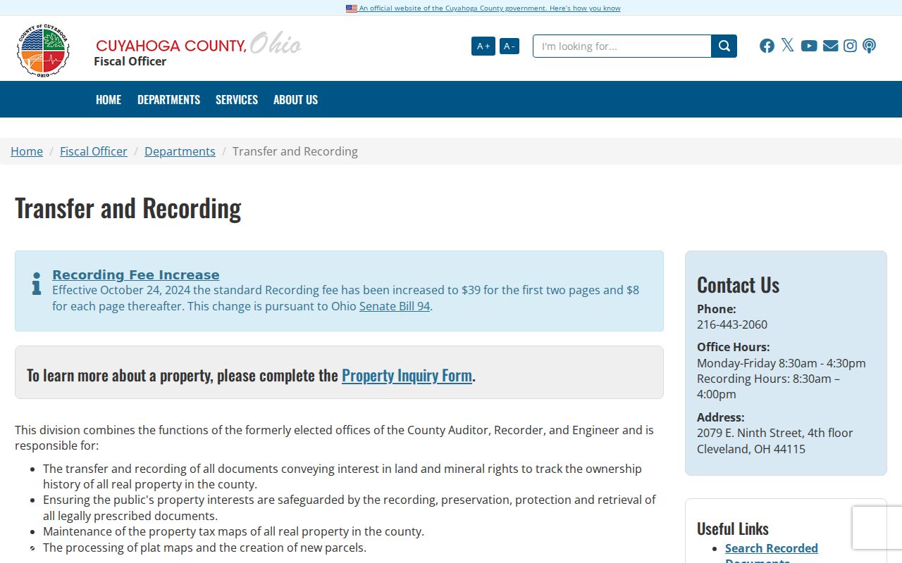
The recorded transfer layer gives a dated document trail. A separate directory or census source is still needed before calling a party a past household member.
Solon Address History Needs Map History
The Cuyahoga County Archives property-research guide is the non-web fallback for a deeper Solon trail. In-person Solon property research requires an appointment. The Archives keeps tax records from 1819 through 1986, while tax information from 1987 forward is online or available through the Fiscal Office. Original map volumes date from about 1860 through 1945, and the Fiscal Office Map Room holds maps from about 1945 forward.
For suburban Solon, the guide calls out county atlases for 1852, 1874, 1892, and 1903, plus tax maps for 1860, 1870, 1880, and 1890. A map cannot identify every person at a Solon location. It can show the road, parcel, or building setting that lets a deed or directory entry be read correctly. Bring the parcel number, address variants, dimensions, and legal description to the appointment.
Solon Household Sources and Directories
Past Solon residents require a household layer after the deed chain is built. CPL's Greater Cleveland Criss-Cross volumes are documented for 1923, 1926, and 1960 to the then-current year, but the specific volume must include Solon before an address result is used. Federal census schedules, released on a 72-year cycle, can bridge wider Solon periods. The collections themselves, including the title-page coverage check, are described in the Solon city directory archive.
- Match the property address to a criss-cross volume that explicitly covers Solon.
- Check the related alphabetical volume for the same name form and date.
- Pair the directory period with an available released federal census rather than assuming a year-to-year household match.
- Compare the address with the parcel trail, tax material, and maps when a street spelling or number differs.
- End with an obituary, cemetery contact, or Probate record only when its date and person fit the rest of the chain.
A listed occupant, a recorded owner, and a census household can agree, partly overlap, or point to different people. The value comes from noting the time and source type instead of forcing them into one conclusion.
Lawful use. Solon previous-resident research fits family history, estate questions, and property history. Ohio law prohibits using records to stalk, threaten, or harass another person.
Solon Address History Across Rural Maps
Solon was settled in 1820 near Aurora Road in the Connecticut Western Reserve. Older map material may therefore use township or rural descriptions around Aurora Road and SOM Center Road, while later records reflect a city with postwar development. That geographic change is why a parcel ID and legal description often hold a trail together better than a street number alone. Early road names can also carry family-name history, including Pettibone, Cannon, Baldwin, Cochran, and Harper.
The City's postwar planning reserved 2,200 acres for industry, so one Solon address trail can cross rural maps, subdivisions, and industrial parcels. Rather than infer continuity from a familiar street name, compare the legal description, dimensions, and map period. Solon address-history research is stronger when it states which version of an address each source actually used.
Solon City Records by Request
When a known address connects to a Solon City-held building, planning, council, or other municipal file, the Solon Open Records Request is the catch-all channel. The City offers online and printable requests. A printable request can be returned in person, by mail, or by email, and the form lets a requester identify the department, record type, date span, and delivery method. Ohio's Public Records Act permits inspection and copy requests, subject to exemptions and redactions.
Solon Police Records and Violations procedures are the source for this City records image.
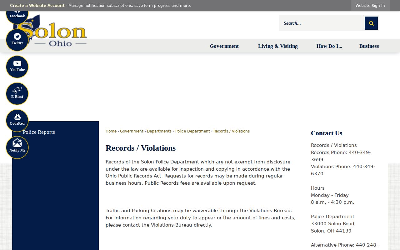
Solon City files can add an address date or project context. They should be requested with a specific Solon record type and period, not treated as a general directory of historic occupants.
Solon Police Report Date Limits
Police material is a narrow, dated supplementary route when a known Solon address is tied to an eligible incident record. Solon Police says nonexempt records may be inspected or copied under the Ohio Public Records Act, but juvenile incidents, confidential cases, and sexual assaults are excluded. The City directs record requests to Police Records and says fees are available on request. That makes the record type and date boundary essential before a request is submitted.
Solon's police-report access page is the source for this report-portal image.
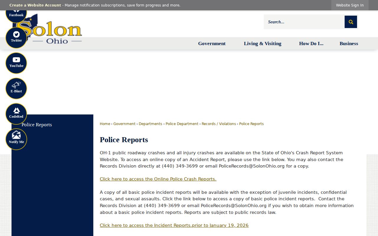
Solon separates incident-report access before January 19, 2026 from the link for reports since that date. A Solon report result is not a Solon household record, and a missing result does not establish that no one lived at the address.
Solon Previous Residents Trail Endpoints
Estate, obituary, and cemetery records can close or test a Solon address trail. County Archives holdings include estates from 1813 to 1918, with estate indexes from 1813 to 1993. Cuyahoga Probate Court handles estate settlement, guardianships, and marriage records. These are useful Solon family and heir channels, but adoption files have special confidentiality rules. Record dates and names must still fit the parcel, directory, or census sequence already assembled.
CCPL directs researchers to the Cleveland Necrology File and Cleveland News Index for historical notices. Solon has Mount Hope and Roselawn municipal cemeteries, although no official public interment-name search was located. The Solon City Service Department, 440-248-5834, is the contact route for a cemetery question. An obituary or estate file may explain a disappearance from a later Solon record, but it should confirm a documented trail rather than replace one.
Note: A careful past-residents conclusion separates recorded ownership, listed address presence, and family evidence by date.