
Walk a Solon Street by Address
A street-by-street search is strongest when it follows the record trail in order. Start with the selected property, not a name. Cuyahoga County MyPlace connects a City and Address search to a selected parcel, while its Transfers and Legal Recordings links point toward the documents that support the result. The resulting name is an owner connection, not a statement about every person at the address. Keep the parcel identifier, site address, transfer details, and legal description together while moving from one record system to another.
- Choose City = Solon in MyPlace, enter the address, and select the returned parcel.
- Record the parcel ID, situs address, owner data, and the most recent transfer shown on that parcel.
- Open Transfers and the Document List, then identify the recorded instrument tied to that transfer.
- Use the Recorder index to check prior parties and the legal description before moving backward.
- Open the City or County GIS view to inspect parcel geometry, then use a verified criss-cross directory only for a historic listed address.
This sequence keeps a Solon street directory tied to records that actually use the address. The Ohio voter tool can provide registration and precinct context only for a specific person after its required fields are supplied. It is not a street-wide browser, and it does not establish who is present at an address.
Use MyPlace for a Solon Street Directory
MyPlace is the County Fiscal Office property application. Its first screen requires a City selection, then offers Owner, Parcel, and Address paths. Address is the direct route for a Solon street directory search. After a parcel is selected, the General Information, Transfers, Tax By Year, Permits, and Document List areas separate property facts from the recorded instruments kept by another custodian. The County describes MyPlace as a free public service and says the originating office remains the official record.
| MyPlace field or control | Street-search use |
|---|---|
| City | Required first selection; choose Solon before searching. |
| Address | Starts with the known street location. |
| Owner or Parcel | Alternate paths when an earlier document supplies a name or parcel ID. |
| Transfers | Shows transfer history to check before opening a deed. |
| Legal Recordings, Document List | Links a selected property to Recorder documents. |
| View Map / Full Map | Moves from the selected parcel to map context. |
The Cuyahoga enterprise GIS viewer provides the map setting captured here.
Parcel boundaries add geographic context to a selected Solon address, but ownership should still be confirmed in MyPlace and the recorded document.
Follow a Solon Street Directory Deed Trail
The Cuyahoga Official Records Search is the document side of the address trail. County material states that recorded documents, including deeds, extend from 1810 to the present. Quick Search takes a Search Term for grantor/grantee, subdivision, document type, or document number, plus a Recorded Date range and preset ranges from Last 24 Hours through 1 Year. A Parcel ID is entered with dashes, as in the County example. Quick Search also distinguishes Search Index Only, which treats multiple words individually, from Search Index & Full Text (OCR), which searches a multiword phrase in document contents.
| Advanced Search field | How it supports an address trail |
|---|---|
| Party Names, Grantor, Grantee | Search names in their document roles; name inputs use LASTNAME FIRSTNAME and each party is added with Enter. |
| Recorded Date Range, Instrument Date Range | Separate MM/DD/YYYY ranges help place a transfer in order. |
| Document Types, document number or number range | Narrows the instrument to the recorded item being checked. |
| Parcel ID, Property Address | Connects the document search back to the MyPlace parcel. |
| Volume, Page, Document Image phrase | Offers additional clues for an identified record. |
| Subdivision Legal, Section Legal, Condo Legal | Uses the legal description when a street label alone is not enough. |
The Recorder Advanced Search ends with Search and Clear controls; the screen is the source of the fields shown below.
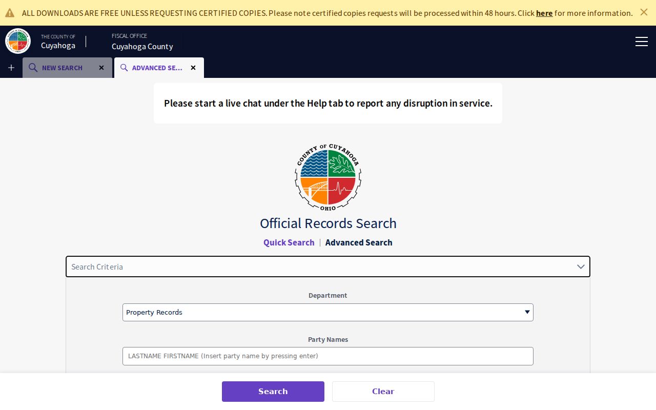
Searching the legal description and prior parties provides a check on an address result when a document trail reaches an earlier transfer.
Solon Street Directory Address Records
Several custodians hold different pieces of a Solon address record. The street name is a starting label, while the parcel number and legal description are the durable links between the systems. City material fills in public planning or building-file context. County records provide the property and recorded-document trail. A historical directory is a separate, limited source for a listed address in a volume that actually covers Solon.
| Address-keyed source | Custodian | What the record can support | Access route |
|---|---|---|---|
| MyPlace property record | Cuyahoga County Fiscal Office | Parcel, owner connection, transfers, tax, building and permit tabs | City plus Owner, Parcel, or Address search |
| GIS parcel view | Solon and Cuyahoga County | Parcel position and surrounding map context | Public web viewers |
| Recorded documents | Fiscal Office Recorded Documents | Grantor, grantee, instrument, recording details, legal description | Official index, counter, or request channel |
| City Archive | City of Solon | Planning and public-meeting address context | Keyword, date, time-period, and category search |
| Building file | Solon Building or City records | Known permit or file context | Department contact or open-records request |
| Criss-cross directory | CPL or WRHS | Historic listed address occupant when coverage is confirmed | Collection research and title-page check |
MyPlace can download result addresses as CSV for a defined property set. That export is a property-search feature, not evidence of who is present at any selected location.
Keep Solon Address Labels Separate
Old and current Solon records can use more than one identifier for the same land. The County Archives advises preserving dimensions, street names, and legal descriptions because each can change over time. A Solon street directory search is more reliable when those identifiers are copied before a transfer search begins. The site address, the owner mailing address, and the legal description answer different record questions and should not be substituted for one another.
- Parcel
- A County property identifier that links a selected property record to map and tax context.
- Situs address
- The physical location used for the property itself, distinct from an owner's mailing address.
- Legal description
- The subdivision, section, condominium, or other land description used in recorded documents.
- Criss-cross directory
- A reverse address directory that may list an address occupant, subject to the volume's coverage.
Note: A mailing address can support correspondence information, while the situs address identifies the property being researched.
Check Solon Street Planning Files
Solon's searchable City Archive provides a municipal supplement when the address appears in a planning, Council, Records Commission, finance, or public-works item. Its controls include keyword, archive category, time period, start date, and end date. Planning material can connect an application, variance notice, or project history to a parcel, but it is not an ownership index. Use the parcel and address to locate the item, then compare it with the County record trail.
The City has online and printable open-records request routes for a building file or record not shown in a web application. A request can specify the department, record type, date span, and delivery method. The printable form may be returned in person, by mail, or by email, and the City identifies email as the fastest delivery method. A known address, permit type, and approximate date make the request more precise.
The City Archive shown here is the municipal search channel for those records.
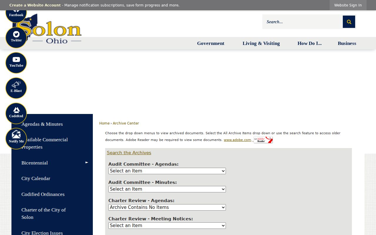
Archive results can add dated public-meeting context to a parcel without replacing the property record or recorded document.
Read Solon Street Directory Map Geography
The Solon GIS Mapping gateway supplies a public City web app for geographic orientation. The City says it began using GIS in the late 1990s, put a public interface online in 2005, and replaced it with improved functionality in February 2011. County MyPlace and the Recorder remain the better chain for ownership and recorded documents. Use the map to understand parcel position first, then return to the associated County entries for record claims.
Solon began as rural township territory around Aurora Road and SOM Center Road. Older maps can therefore use township or rural descriptions. A parcel ID and legal description remain useful across those geographic labels. This is a records-geography issue, not a basis for assuming a modern street number appears unchanged in an older source.
The Solon GIS Mapping gateway is pictured below.
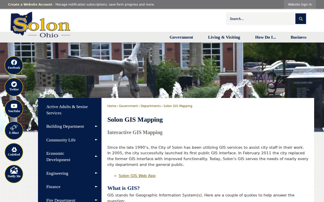
The City map offers location context; individual Recorder and MyPlace records provide the checkable property trail.
Use Solon Street Directory Archive Evidence
The Cuyahoga County Archives property-research guide is the important fallback when online results stop. In-person property research requires an appointment. Its guide places tax records from 1819 through 1986 at the Archives, with 1987-present tax records online or available through the Fiscal Office. Original map volumes from about 1860 through 1945 are also at the Archives, while the Fiscal Office Map Room holds maps from about 1945 forward.
For suburban Solon, the guide identifies county atlases for 1852, 1874, 1892, and 1903, plus tax maps for 1860, 1870, 1880, and 1890. Bring the parcel number, dimensions, street labels, and legal description gathered from the earlier steps. That preparation makes an older map or tax entry easier to compare without claiming that a single record resolves every address question.
The County Archives property-research route is shown here.
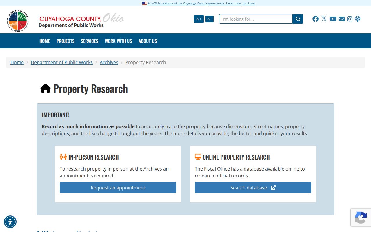
The appointment route complements the online street directory trail with historical tax and map evidence.
Verify Solon Street Directory History
Historic address work needs a volume that actually includes Solon. Cleveland Public Library holds Greater Cleveland Criss-Cross directories for 1923, 1926, and 1960 to the then-current year, and its complete East Suburban Directory run covers 1964 through 1979. The library cautions that suburb coverage varies by volume, with title pages identifying covered suburbs from 1925. Check that title page before treating a listing as a Solon result.
Criss-cross material is useful after the parcel and recorded trail have established the address form. It can provide a historic listed address occupant, not a complete account of every person associated with a property. For the regional collection details and how entries are read, use the Solon Directory Book.
Note: A missing historic listing is inconclusive when the selected directory volume does not cover Solon or the address form differs.
Reach Solon Street Directory Records
The Fiscal Office Recorded Documents department offers more than the online index. It is at 2079 E. Ninth Street, fourth floor, Cleveland, and is open Monday through Friday from 8:30 a.m. to 4:30 p.m.; its telephone number is 216-443-7420. The County also identifies a free public-record request option from the Recorded Documents page. Published copy costs are $2 per page, with an additional $2 for certification. Those copy costs do not replace a title examination.
Recorded Documents is the office page represented in this capture.
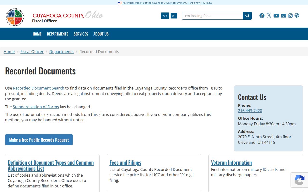
The portal, counter, and request route give a Solon address search more than one way to reach the document custodian.
Set Solon Street Directory Boundaries
A property roll can document a parcel and owner connection. A recorded deed can document a transaction. Neither proves every person at an address. GIS shows parcel geometry, not private utility or customer information, and driver information is restricted under the federal Driver's Privacy Protection Act. Ohio's voter lookup is designed for an identified person and provides registration, precinct, and polling-location context, not a street-by-street directory. Safe at Home participants can be omitted or masked in otherwise expected voter and municipal results.
When a record is absent, protected, or unclear, request the actual public record from the custodian under Ohio's Public Records Act rather than speculate. Solon address research fits personal, family-history, estate, civic, and property-history purposes. Correct a factual error at the office that holds the source record.
Lawful use. Use Solon address records for lawful personal research only. Ohio law bars stalking and harassment, and a document or map result is never permission to contact or track someone.